
$36.95
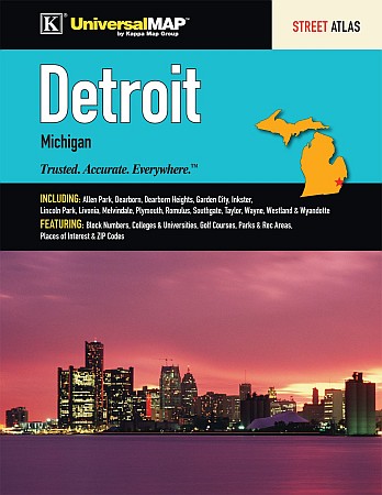
Scale 1:34,000. Size 8?"x11". 76 pages. Universal Map edition. The Detroit and Wayne County, Michigan Street Atlas by Kappa Map Group features Downtown Detroit. Includes Allen Park, Dearborn, Dearborn Heights, Flat Rock, Grosse Pointe Woods, Harper Woods, Highland Park, Inkster, Lincoln Park, Livonia, Northville, Plymouth, Rockwood, Romulus, South Rockwood, Southgate, Taylor, Wayne, Westland, Woodhaven, and Wyandotte.
Provides a map locator, maps, street indexing, and places of interest indexing. Details travel routes, railroads, boundaries, ZIP code numbers/boundaries, schools/colleges,universities, libraries, post offices, fire/police stations, shopping centers, hospitals, government facilities, boat ramps, marinas, airports, mileage circles, cemeteries, parks, and points of interest.
Write Your Own Review