
$30.95
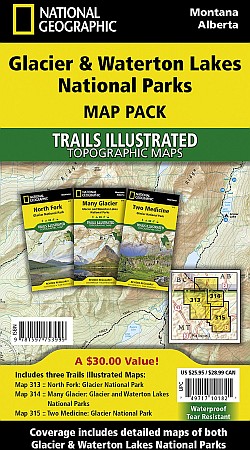
Scale 1:50,300. Size 26"x38". National Geographic edition. Seeking the best combination of detailed maps and value for your Glacier/Waterton Lakes National Parks trip, then get our bundle pack. It includes three of our Glacier/Waterton Lakes National Parks sectional Trails Illustrated maps, providing you coverage of the entire map region, while saving you over 15%. Like all Trails Illustrated maps, the Glacier/Waterton Lakes National Parks Bundle set is frequently revised and printed on waterproof, tear-resistant material to stand up to all conditions. This detailed topographic recreation map bundle contains carefully researched trails, campsites, forest service roads, and points-of-interests. Includes UTM grids for use with your GPS unit.
Coverage includes: Glacier National Park, Waterton Lakes National Park, North Fork, Many Glacier, Two Medicine, Pacific Northwest Trail and more.
Write Your Own Review