
$249.95
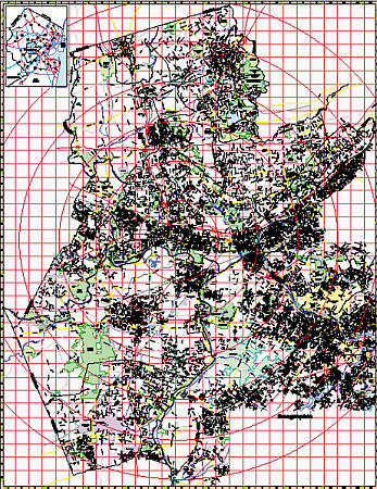
Scale 1:2,640. Size 54" W x 64" H. Laminated. Printed in color with a markable/washable-laminated surface. Streets indexed in a separate book. Includes hanging rails mounted top and bottom. Covers all of Somerset County with the following boundaries: North: to the Morris County line; South: to the Mercer County line; East: to the Middlesex County line; West: to the Hunterdon County line. Includes: streets and highways, post offices, hospitals, points of interest, mileage circles, government buildings, cemeteries, shopping centers, water features, recreational parks, ZIP codes, airports and railroads, fire and police stations, educational facilities, golf and country clubs, and city limits/annexations. Railed wall maps can be turned into pull down maps on spring rollers for an additional $40.
Write Your Own Review