
$14.95
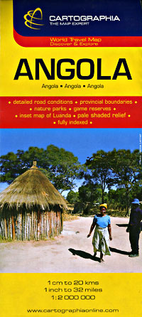
Scale 1:2,000,000. Size 27"x35". Fully indexed. Cartographia edition. Shows all types of roads and tracks, distances between points in kilometers, cities, towns, villages, car and passenger ferries, scenic roads, international and provincial boundaries, railways, railway stations, navigation routes, ports, rivers, lakes, streams, national parks, game reserves, sand deserts, waterfalls, wells, water-holes, hotels, safari bungalows, safari camps, museums, churches, petrol stations, monuments, hospitals, post offices, tourist information centers, points of interest, and lighthouses. Also includes a principal streets maps of Luanda. English and multilingual text. BIG >> SAMPLE MAP << Small sample map
Write Your Own Review