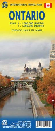
Scale 1:1,000,000/1:1,500,000. Size 27"x39". International Travel Maps edition.
Ontario is one of the largest provinces of Canada, equivalent in size to all of Europe. It naturally divides into two parts – the more southerly third and the much larger north. Its shape is determined by the Great Lakes, which form a natural boundary with the USA, but results in the most southerly portion of the province being on the same longitude as northern California.
In fact, Detroit is actually north of Windsor, Ont. By North American standards, Ontario is loaded with history, having been settled by United Empire Loyalists fleeing the rebellion in the southern American colonies. Toronto, then called York, was raided and burned by American soldiers during the War of 1812, an act that led to the British sacking of Washington and the burning of the Presidential mansion.
Yonge Street, built by my ancestors, is the longest street in the world, stretching north from Toronto’s waterfront to Georgian Bay and then becoming the main highway through northern Ontario to join the province to Manitoba. This is also the capital of Canada, in Ottawa, and of Ontario, in Toronto.
The province is also home to several great universities. In the north, three grand attractions are the giant Nickel in Sudbury, the giant Wawa Goose, and the grandest fur trading post in all of the Americas, Fort William (near Thunder Bay).