
$17.95
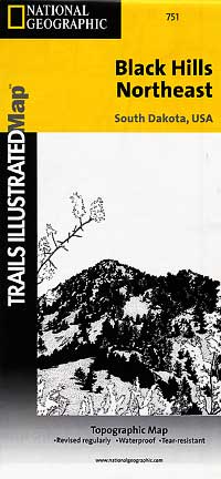
Scale 1:54,000. Size 26"x38" Trails Illustrated edition. Printed on waterproof, tear-resistant, paper-like plastic (like very strong paper). This Trails Illustrated topographic map for South Dakota's Black Hills, Wind Cave National Park, Mt Rushmore, and surrounding area, is the perfect map for exploring this magical wilderness. The map includes Wind Cave National Park, Custer State Park, Black Hills National Forest, Norbeck Wildlife Preserve, Sylvan Lake, Stockade Lake, Legion Lake, Center Lake, Elk Mountain, Bison Flats, Limestone Canyon, and much more. Includes UTM tick marks for use with your GPS unit.
Write Your Own Review