
$17.95
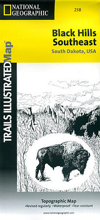
Scale 1:40,000. Size 25"x37". Trails Illustrated edition. Printed on waterproof, tear-resistant, paper-like plastic (like very strong paper). This map includes: South Dakota's Black Hills; Wind Cave National Park; Mt. Rushmore; Custer State Park; Black Hills National Forest; Norbeck Wildlife Preserve; Sylvan Lake; Stockade Lake; Legion Lake; Center Lake; Elk Mountain; Bison Flats; Limestone Canyon. Includes UTM tick marks for use with your GPS.
Write Your Own Review