
$17.95
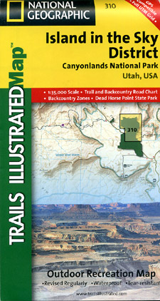
Scale 1:35,000. Size 25"x38". Trails Illustrated edition. Printed on waterproof, tear-resistant, lightweight, paper-like plastic. Included on the map are Canyonlands National Park, the Island in the Sky district, the Needles district, and the Maze district. The map also covers the Colorado River, the Green River, Indian Creek Wilderness, Bridger Jack Mesa Wilderness, Butler Wash Wilderness, Canyon Rims Recreation Area, and provides fascinating information about the park's archaeology. Scenic views make this area ideal for any back-country outdoor activity. Includes UTM grids for use with your GPS unit.
Write Your Own Review