
$17.95
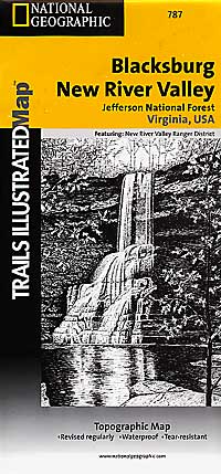
Scale 1:75,000. Size 26"x38". Trails Illustrated edition. Printed on waterproof, tear-resistant, lightweight, paper-like plastic. This Trails Illustrated topographic map is the most comprehensive recreational map for the Blacksburg/New River Valley area of Virginia. Includes UTM tick marks for use with your GPS unit and a trail mileage matrix. Coverage includes: Jefferson National Forest; Blacksburg; Radford; Pulaski; Bluefield; Wytheville; Appalachian National Scenic Trail. Wilderness areas include: Beartown; Kimberling Creek; Peters Mountain; Mountain Lake.
Write Your Own Review