
$17.95
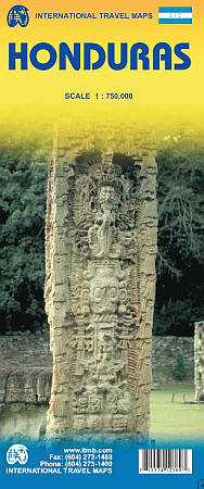
Scale 1:750,000. Size 39" across x 42" high. Indexed. International Travel Maps edition. Elevation is shown by hypsometric color tints. Also indicates all types of roads, railways, airports, harbors, points of interest, parks, beaches, and tourist mining. Includes an inset principal streets plan of Tegucigalpa. BIG >> SAMPLE MAP << Small sample map
Write Your Own Review