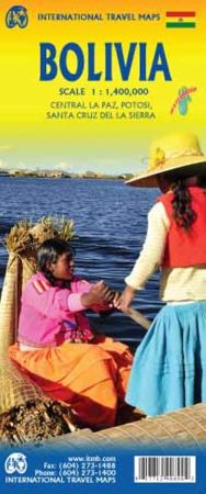
Scale 1:1,400,000. Size 27"x39". Indexed. International Travel Maps edition.
South America retains its attraction as an exotic travel destination, and land-bound Bolivia is one of its great adventures. This double-sided map shows the country to good advantage.
The western half is mountainous and is where the bulk of the local people live. Side 1 includes inset maps of Potosi and Santa Cruz de la Sierra, two colonial cities of interest. The other side of the sheet shows the more northerly grasslands pampas leading to Brazil and Peru and has an inset map of La Paz, the county’s capital.
The country is most easily reached by land from Peru by Hwy 3 along the south shore of Lake Titicaca, or from Argentina by Hwy 9, going north from Salta. Connections from Brazil and from Chile are possible, but not as well used. There is only one road connecting the country to neighbouring Paraguay, so Bolivia remains one of those off-the-beaten-track travel experiences beloved of jaded travellers.