
$17.95
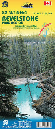
Scale 1:50,000. International Travel Maps edition.
This waterproof map is double sided using Canadian Topographic Maps.
The first map covers the area around Mount Revelstoke at a 1:50000 scale, perfect to plan a journey for hiking, camping or canoeing.
The second map is called Illecillewaet and shows the East side of the Mount Revelstoke and part of the Glacier National Park.
All this map come with a complete legend with roads, bridges, buildings, boundaries, power transmission lines, waters.
Write Your Own Review