
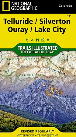
Silverton, Ouray, Telluride, and Lake City Area.
$17.95
In stock
Scale 1:64,000. Size 25"x37". The Telluride/Lake City Trails Illustrated map is the most comprehensive recreational map for this spectacular area of Colorado.
Coverage area includes: parts of San Juan and Uncompahgre national forests; south San Juan Mountains; Lizard Head, Mt Sneffels and Uncompahgre wilderness areas; Calico National Recreation Trail; portions of the Colorado Trail; the trail networks at Coal Bank Pass and Silver Jack Reservoir; and the cities and surrounds of Telluride and Ouray. 14ers: Mt Wilson, El Diente Peak, Wilson Peak, Mt Sneffels, Uncompahgre Peak, Wetterhorn Peak, Redcloud Peak, Sunshine Peak.
| Item Price | $17.95 |
|---|
Write Your Own Review