
Southern BC and Alberta, Road and Physical Travel Reference Map, British Columbia and Alberta, Canada.
$17.95
In stock
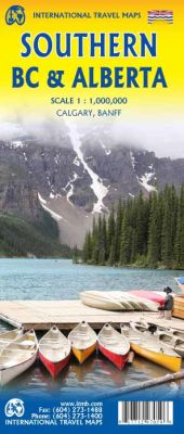
Scale 1:1,000,000. International Travel Maps edition.
ITMB, being based in Vancouver, BC, understandably has a local/regional market for our map line. We have a map of Western Canada, as well as an atlas, a very nice map of BC itself, a map of the south half of BC, and a map of part of BC combined with Washington State. What we did not have, until now, was a map covering the most touristically-visited part of all of Canada – namely, the southern halves of both British Columbia and its neighbour, Alberta, with a small amount of Washington State, Idaho, and Montana (to assist those heading north and needing to know about border crossings).
Therefore, ITMB is pleased to announce the release of Southern BC and Alberta. Side One covers BC from the US border (with a carry-on to Seattle) north to Prince George and east to the Alberta border, with a carry-on to Calgary. All of Vancouver Island, the Okanagan Valley, and the Rock Mountain National Parks of Banff and Jasper, are included. The map is rich with wilderness campsite (almost 1,000 are shown, ski areas, fishing areas, even gas stations in more remote parts of the vast province. Side Two covers Alberta from somewhat north of Edmonton (the provincial capital) to the American border and a bit beyond, and from the Rocky Mountains east to a bit beyond the Saskatchewan border. This side focuses on the movement from the high Rockies to the foothills and plains of the enormous Canadian Prairies The highlights of this side of the map are showcased in our Top Attractions guide and include such world-class features as the Drumheller Dinosaur Museum, the world’s best, to the Columbia Ice field, one of the few in the world easily accessible to walk on. Naturally, the road network, train lines, urban areas, parks, and numerous attractions (who could pass up visiting Head-Smashed-In Buffalo Jump?) are all clearly shown.
| Item Price | $17.95 |
|---|
Write Your Own Review