
Southern Ontario, Road and Physical Travel Reference Map, Ontario, Canada.
$17.95
In stock
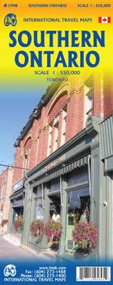
Scale 1:550,000. International Travel Maps edition.
The Canadian province of Ontario is intimidatingly large. It is also mostly tundra with extremely few settlements and few roads; in fact, the geographic center of Ontario is about 1,500 kms north of the nearest road. The very first map I prepared, at age 10, was of Ontario; and it took me six weeks to trace all the lakes. My point is that the developed portion of the province is a much smaller wedge of fertile ground south of the mineral belt of the Great Canadian Shield.
This double sided map focuses on the area south of Sudbury and North Bay and expands the scale to a much more useful purpose for most users. Imagine Detroit in the southwest corner of the map, with Highway 401 joining it to London and Toronto and a branch motorway cutting across to Buffalo. Add in the Bruce Peninsula and the major routes north to cottage country and you have side one. The other side stretches from Toronto east to the Quebec border and Ottawa, with the lovely Kawarthas region for exploring. My personal favourite highway is number 7, from Peterborough east through land settled two hundred years ago by Scottish Gaels. Perth is a perfectly preserved Scottish town of granite buildings. The map also includes a regional map of the main roads in the greater Toronto area and a separate inset of the downtown.
| Item Price | $17.95 |
|---|
Write Your Own Review