
Steamboat Springs and Rabbit Ears Pass Area.
$17.95
In stock
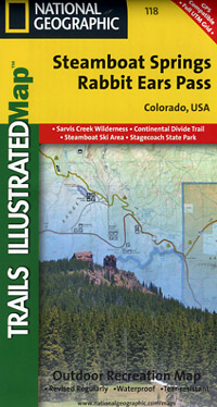
Scale 1:41,000. Size 22"x32". The Steamboat Springs/Rabbit Ears Pass Trails Illustrated map is the most comprehensive recreational map for this picturesque multi-use area in northern Colorado.
Includes: Arapaho and Routt national forests, Sarvis Creek Wilderness, Stagecoach Reservoir State Park, the cities of Steamboat Springs, Oak Creek and Muddy Pass; the Yampa River; Dumont, Catamount and Agnes lakes; Stagecoach and Fish Creek reservoirs; the Park Mountain Range; and Rabbit Ears and Yellow Jacket passes. Ski Area coverage of Steamboat and the Rabbit Ears cross-country area are also provided.
| Item Price | $17.95 |
|---|
Write Your Own Review