
Vancouver Coast and Mountains Road and Recreation ATLAS, British Columbia, Canada.
$36.95
In stock
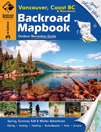
Scale 1:150,000. Size 8?"x11". 145 pages. Mussio Ventures Ltd edition. This mapbook, originally called Southwestern BC, was the start of what has proven to be a very popular outdoor recreation mapbook series. With over 1.5 million books on dashboards across the country we are very proud to be Canada’s source for maps when planning an outdoor adventure!
This book covers the southwest corner of beautiful British Columbia, Canada. Vancouver, Gibsons and Powell River frame the western edge of the area, while Hope, Manning Park, Boston Bar and Lillooet make up the eastern edge. Chilliwack, Maple Ridge, Squamish, Whistler and Gold Bridge are just a few of the prominent cities or towns.
| Item Price | $36.95 + $6.80 p&h or $16.80 foreign delivery |
|---|
Write Your Own Review