
$12.95
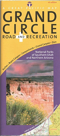
Great Pacific Recreation Maps edition. Comprehensive coverage of Southern Utah (south of I-70) and Northern Arizona
Detailed inset maps of Arches, Bryce Canyon, Canyonlands, Grand Canyon and Zion National Parks + Grand Canyon Village.
"Grand Canyon Regional Access Map" shows highway, scheduled airline and Amtrak access to the Grand Canyon National Park area.
Quality cartography by California State Automobile Association (CSAA) and Great Pacific Recreation & Travel Maps.
Comprehensive Community and recreation indexes. Phone & website and National Park directories.
Map features include an amazing array of stunning, geographic features (mountains, buttes, canyons, basins, deserts, etc.), airports, BLM recreation areas, hiking trails, marinas, museums & historic places, off-road vehicle areas, ranger stations, Scenic Byways & Backways, scenic overlooks, State Parks, US National Forests, US Forest Service Roads, visitor centers, wilderness areas and wildlife watching areas.
Comprehensive mileage chart and mileage map.
Write Your Own Review