
$12.95
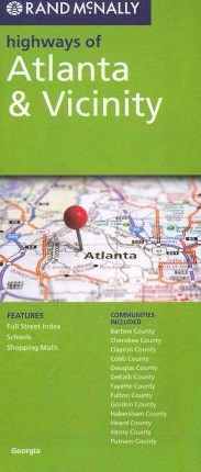
Rand McNally edition. Rand McNally's folded map featuring the highways of Atlanta and vicinity is a must-have for anyone traveling in and around this part of the state, offering unbeatable accuracy and reliability at a great price. Our trusted cartography shows all Interstate, state, and county highways, along with clearly indicated points of interest, airports, county boundaries, and more.
Write Your Own Review