
$17.95
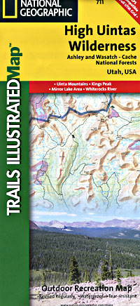
Scale 1:75,000. Size 26"x37". Trails Illustrated edition. Printed on waterproof, tear-resistant, lightweight, paper-like plastic. This Trails Illustrated topographic map is the most comprehensive recreational map for Utah's High Uintas Wilderness area. Coverage includes: Wasatch-Cache National Forest; the entire High Uintas Wilderness and surrounding backcountry; Hoop, Brown, Moon, Crystal, Little Lyman and Atwood lakes; Paradise Park, Cedar View, Upper Stillwater and Whitney reservoirs; Red Knob, Squaw, Smith Fork, Anderson, and Thompson passes.
Write Your Own Review