
$25.95
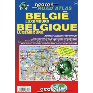
Scale 1:100,000. Size 8”x11“. 192 pages. GeoCart Belgium edition. This touring atlas covers Belgium and Luxembourg and reaches into the neighbouring countries. Format A4 (11 x 8 in), 192 pages, paperback bound, includes main road mapping at scale 1:100,000 and street plans of 38 cities at varying scale. Includes a distance chart, place name index and multi-lingual legend. Authentic Belgian cartography. The excellent scale makes this atlas the best for Belgium & Luxembourg in the market.
Write Your Own Review