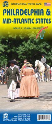
Philadelphia & Mid-Atlantic States Road and Physical Travel Reference Map America.
$17.95
In stock
Scale 1:10,000/1:1,000,000. Size 27"x39". International Travel Maps edition. This map began as a result of a map conference held in Philadelphia a few years ago. Maps of the city at that time tended to concentrate on the entire spread-out urban area, resulting in the historic core, which was of interest mostly to visitors, crowded into a small portion of the map. Our map covers from the zoo and art gallery in the north to West Oregon St in South Phillie, so takes on much more than the historic area and the downtown, but does so at an excellent scale, so everything from the Liberty Bell to the University of Pennsylvania campus shows up clearly and easy to read. The other side of the map is also a brand new map for ITMB.
The East Coast of the USA is so densely packed with urban areas and attractions that it is difficult to portray on one map. ITMB has already published Northeast USA at 1:1M scale; this is the adjacent sheet south, as Great Lakes is the Adjacent sheet west. No one seems to have an agreed-upon definition as to what should be included as a Mid-Atlantic State. We included New York State because we wanted NYC to be included and by the shape of the USA had to include parts of Connecticut and Massachusetts unintentionally. The focus of the map is NYC to Raleigh, NC, with New Jersey, Pennsylvania, Washington DC, Delaware, Maryland, Virginia and North Carolina making up the map. In terms of cities. Syracuse and Buffalo are in the north, Pittsburgh (interesting city, by the way) in the far west, and Winston-Salem and Norfolk in the south. This is Civil War country and we have done our best to portray memorials important to both sides of that divisive conflict.
| Item Price | $17.95 |
|---|
Write Your Own Review


