
Prince Edward Island, Charlottetown and Summerside Road and Tourist Map, Canada.
$14.95
In stock
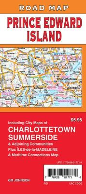
Scale 1:25,000. Size 27"x39". G.M. Johnson edition. This Map Coverage Area are Prince Edward Island, Alberton, Charlottetown, Cornwall, Georgetown, Kensington, Montague, Souris, Stratford, Summerside, Kings County, Prince County, Queens County, Îles-de-la-Madeleine, Maritime Connections Map, Ferry and Road Map.
Scale 1:25,000. Size 27"x39". G.M. Johnson edition. This Map Coverage Area are Prince Edward Island, Alberton, Charlottetown, Cornwall, Georgetown, Kensington, Montague, Souris, Stratford, Summerside, Kings County, Prince County, Queens County, Îles-de-la-Madeleine, Maritime Connections Map, Ferry and Road Map.
| Item Price | $14.95 |
|---|
Write Your Own Review